Remote Sensing Courses
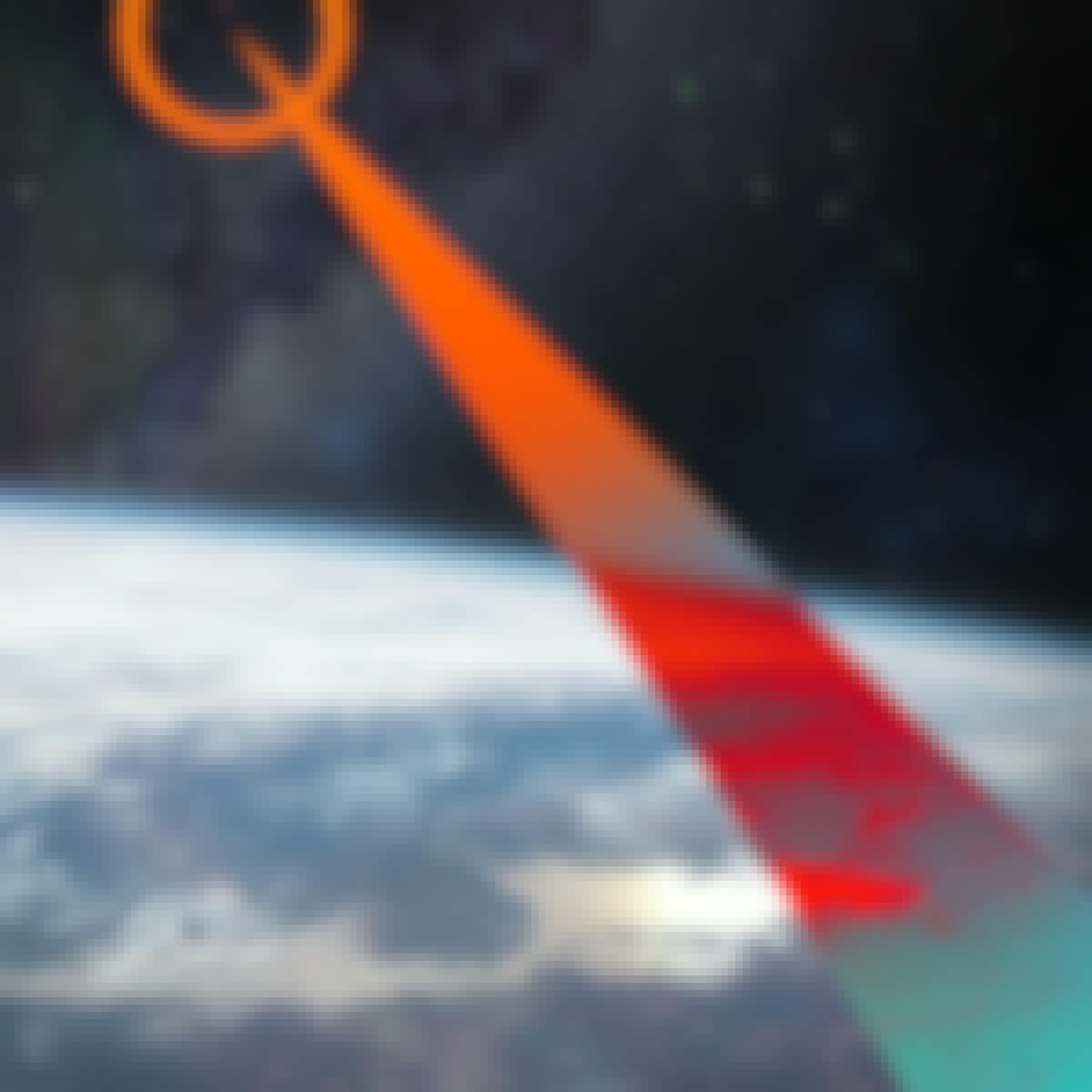
Remote sensing courses can help you learn about satellite imagery analysis, geographic information systems (GIS), and environmental monitoring techniques. You can build skills in data interpretation, spatial analysis, and remote sensing applications in agriculture and urban planning. Many courses introduce tools like ArcGIS and QGIS, along with software for processing satellite data, that support analyzing and visualizing geographic information.
Popular Remote Sensing Courses and Certifications
 Status: Preview
UNSW Sydney (The University of New South Wales)
Skills you'll gain: Image Analysis, Unsupervised Learning, Geospatial Information and Technology, Machine Learning Methods, Computer Vision, Feature Engineering, Spatial Analysis, Machine Learning, Dimensionality Reduction, Convolutional Neural Networks, Deep Learning, Supervised Learning, Classification Algorithms, Probability & Statistics, Artificial Neural Networks
 Status: Free Trial
University of Toronto
Skills you'll gain: ArcGIS, Spatial Data Analysis, Spatial Analysis, Geographic Information Systems, Geospatial Mapping, GIS Software, Data Mapping, Geospatial Information and Technology, Data Visualization, Metadata Management, Query Languages, Global Positioning Systems, Quantitative Research, Data Compilation, Typography, Data Manipulation, Data Storytelling, Data Modeling, Design Elements And Principles, Image Analysis
 Status: Free Trial
University of Toronto
Skills you'll gain: Geographic Information Systems, GIS Software, Spatial Analysis, Spatial Data Analysis, Geospatial Information and Technology, Geospatial Mapping, Query Languages, Data Manipulation, Image Analysis
Skills you'll gain: Geospatial Information and Technology, Geospatial Mapping, Spatial Data Analysis, Geographic Information Systems, Unsupervised Learning, Image Analysis, Machine Learning, R Programming, Data Processing, Data Preprocessing, Classification Algorithms, Data Transformation, Dimensionality Reduction
 Status: Preview
Skills you'll gain: Geographic Information Systems, Geospatial Mapping, Spatial Data Analysis, Spatial Analysis, Global Positioning Systems, Data Analysis, Metadata Management, Decision Support Systems
 Status: Free TrialStatus: AI skills
Google
Skills you'll gain: Threat Modeling, Network Security, Threat Management, Vulnerability Management, Intrusion Detection and Prevention, Hardening, Computer Security Incident Management, Security Management, Cyber Threat Intelligence, Cyber Attacks, Incident Response, Cybersecurity, Network Protocols, Threat Detection, Bash (Scripting Language), Debugging, Linux, Interviewing Skills, Python Programming, SQL
What brings you to Coursera today?
 Status: Free Trial
L&T EduTech
Skills you'll gain: Spatial Analysis, GIS Software, Spatial Data Analysis, Geospatial Mapping, Geographic Information Systems, Building Information Modeling, Data Manipulation, Global Positioning Systems, Network Analysis, Image Analysis, Data Import/Export, Unsupervised Learning, Software Installation, Supervised Learning, UI Components
 Status: Free Trial
L&T EduTech
Skills you'll gain: Geospatial Information and Technology, Spatial Analysis, GIS Software, Spatial Data Analysis, Geographic Information Systems, Geospatial Mapping, Construction Engineering, Database Management, Construction, Construction Management, Architecture and Construction, Global Positioning Systems, Visualization (Computer Graphics), Civil and Architectural Engineering, Decision Support Systems, Building Information Modeling, Survey Creation, AutoCAD Civil 3D, Data Manipulation, Network Analysis
 Status: Free Trial
Google
Skills you'll gain: Program Development, Programming Principles, Python Programming, Computer Programming, Computational Thinking, Problem Management, Data Structures, Integrated Development Environments, Debugging, Development Environment
 Status: Free Trial
University of California San Diego
Skills you'll gain: Algorithms, Program Development, Debugging, Development Testing, Software Testing, Computational Thinking, Test Case, Computer Programming, Programming Principles, Data Structures, Theoretical Computer Science, Design Strategies
 Status: NewStatus: Free Trial
Microsoft
Skills you'll gain: Debugging, Event-Driven Programming, Version Control, Application Deployment, Microsoft Copilot, C# (Programming Language), Git (Version Control System), Object Oriented Programming (OOP), Software Design Patterns, Software Architecture, .NET Framework, Microsoft Visual Studio, Software Design, Software Testing, Application Development, Program Development, Data Validation, Microsoft Development Tools, Security Testing, Software Development Tools
 Status: Free Trial
University of California, Santa Cruz
Skills you'll gain: C++ (Programming Language), Object Oriented Programming (OOP), Programming Principles, Software Design Patterns, Computer Programming, Algorithms, C (Programming Language), Graph Theory, Debugging, Artificial Intelligence, Data Structures, Game Design, Software Documentation
In summary, here are 10 of our most popular remote sensing courses
- Remote Sensing Image Acquisition, Analysis and Applications: UNSW Sydney (The University of New South Wales)
- GIS, Mapping, and Spatial Analysis: University of Toronto
- Spatial Analysis and Satellite Imagery in a GIS: University of Toronto
- Satellite Remote Sensing Data Bootcamp With Opensource Tools: Packt
- GIS Mastery: Spatial Data, Remote Sensing, Decision Support: Coursera
- Google Cybersecurity: Google
- Mastering Geospatial Analysis with QGIS: L&T EduTech
- Geospatial Techniques for Engineers: L&T EduTech
- Crash Course on Python: Google
- Algorithmic Toolbox: University of California San Diego


